
Thinking about a trip to Hawaii? It's a pretty amazing place, and figuring out where to go and what to see can be a bit much. That's where a good map
Thinking about a trip to Hawaii? It’s a pretty amazing place, and figuring out where to go and what to see can be a bit much. That’s where a good map of the Hawaii islands comes in handy. We’re going to break down how to use a Hawaii map of the USA to plan your next vacation, covering everything from the main islands to getting around.
Key Takeaways
- A good Hawaii map of the USA is your starting point for planning a trip.
- Each major island, like Kauai, Oahu, Maui, and the Big Island, has its own unique features shown on maps.
- Specialized maps can help with driving, finding beaches, and even following popular scenic routes.
- Maps can also point out top attractions, places to eat, and show you the lay of the land with elevation details.
- Using various map resources, from free guides to paid packets, can make your Hawaii travel much smoother.
Navigating the Hawaiian Islands: A Comprehensive Hawaii Map Overview
Aloha! Getting around the Hawaiian Islands is a breeze with the right map. Think of it as your personal guide to paradise, showing you where the stunning beaches are, the best roads to take, and even where to grab some ono grindz. We’ve got detailed maps for each of the main islands: Kauai, Oahu, Maui, and the Big Island. Each one is a little different, a whole world to explore.
Understanding the Hawaii Map of USA
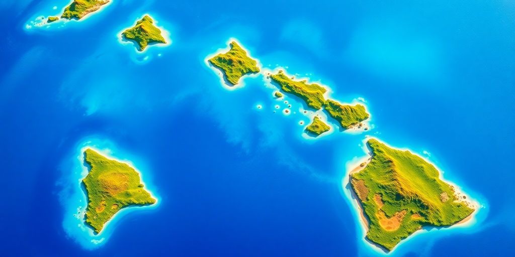
When we talk about the Hawaii map of the USA, we’re looking at a chain of islands way out in the Pacific. It’s not just one spot; it’s a collection of distinct landmasses, each with its own vibe and geography. Understanding this layout is step one to planning your trip. You’ll see how they’re spread out, which ones are closest to each other, and where the main airports are. It’s all about getting a feel for the place before you even step off the plane.
Key Islands Featured on the Hawaii Map
The maps really focus on the most visited islands. You’ve got:
- Kauai: Known as the Garden Isle, it’s super green and lush, with dramatic cliffs and waterfalls. Perfect for nature lovers.
- Oahu: This is where Honolulu and Waikiki are. It’s the most populated island, offering a mix of city life, history, and famous surf spots.
- Maui: Famous for its beautiful beaches and the scenic Road to Hana. It’s a popular choice for honeymoons and relaxation.
- The Big Island of Hawaii: This one is huge and geologically active, with volcanoes, black sand beaches, and diverse climate zones. It’s like visiting multiple places in one.
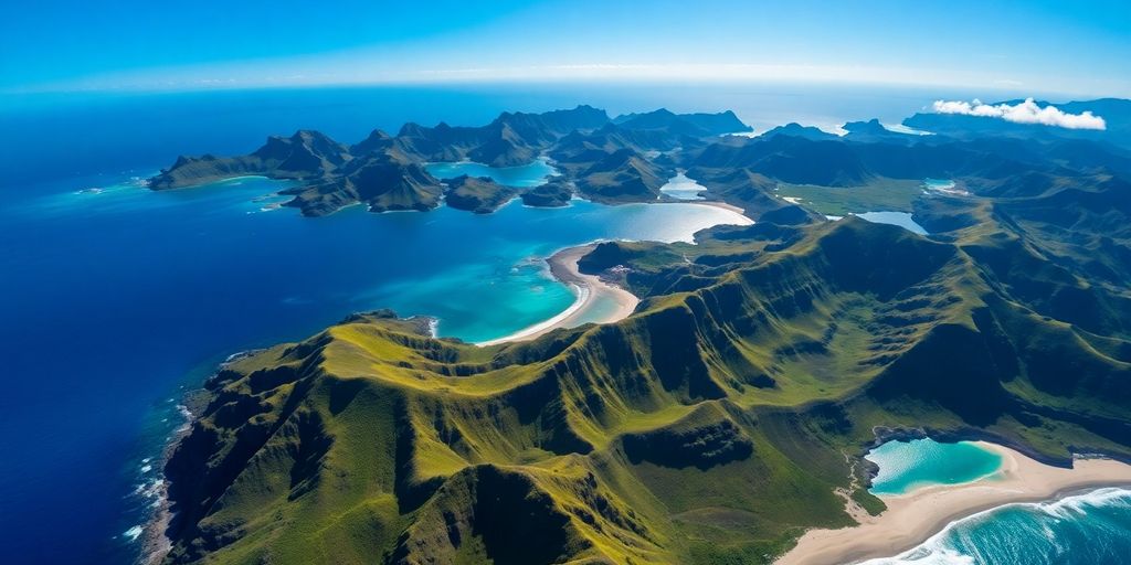
Essential Geographic References for Hawaii
Beyond just the island outlines, good maps will show you important geographic details. Think about:
- Elevation and Terrain: How high do the mountains go? Where are the valleys? This helps you understand the landscape and plan activities like hiking.
- Coastlines: Where are the bays, points, and, of course, the beaches? Maps often highlight different types of coastlines, which is super helpful for beach hopping.
- Water Features: Rivers, waterfalls, and the ocean depths (bathymetry) are shown. Knowing the ocean floor can be important if you’re into water sports or just curious about the marine environment.
Exploring Individual Hawaiian Islands on the Map
Let’s talk about the individual islands. Each one has its own vibe, you know? Maps really help you get a feel for what’s where before you even land. We’ve got the lowdown on the big four: Kauai, Oahu, Maui, and the Big Island itself. Think of these maps as your first introduction to each place. They show you the general layout, the main towns, and where the big attractions are. It’s like getting a sneak peek into paradise.
Detailed Kauai Map Exploration
Kauai, the "Garden Isle," is all about lush greenery and dramatic cliffs. A good map will show you the Na Pali Coast, which is pretty epic, and the Waimea Canyon, often called the "Grand Canyon of the Pacific." You’ll see the main towns like Lihue and Hanalei, and where to find those amazing beaches. It’s a place where nature really takes center stage, and the maps help you appreciate that scale.
Oahu Island Map Insights
Oahu is the "Gathering Place," and it’s a mix of city life and natural beauty. The map of Oahu will highlight Honolulu, Waikiki, and Pearl Harbor, of course. But it also shows you the North Shore, famous for its surf, and the windward coast with its stunning beaches. You can trace the routes to Diamond Head or the Polynesian Cultural Center. It’s a busy island, and the maps help you figure out how to get around it all.
Maui’s Geographic Representation
Maui, the "Valley Isle," is known for its beaches and the Road to Hana. Your Maui map will point out the popular resort areas like Kaanapali and Wailea. You’ll also see Haleakala National Park, that massive volcano. The Road to Hana itself is a journey, and having a map that details its twists and turns is super helpful. It shows you waterfalls, viewpoints, and small towns along the way. It’s a scenic drive, and the map makes it even better.
The Big Island of Hawaii Map Details
The Big Island is, well, big! It’s got a lot of variety. The map here will show you everything from the active volcanoes in Hawaii Volcanoes National Park to the black sand beaches and the coffee farms in Kona. You’ll see Hilo on the east side and the different climate zones. It’s a place of extremes, and the map helps you understand just how much ground you can cover, and the different environments you’ll experience.
Specialized Maps for Your Hawaii Adventure
When you’re getting ready for a trip to Hawaii, having the right maps can make all the difference. Forget getting lost or missing out on cool spots. We’ve got maps that really help you get around.
Hawaii Road Maps for Seamless Travel
Getting from point A to point B on the islands is way easier with good road maps. These maps show you the main roads, highways, and even smaller routes. They’re super helpful for planning your drives, whether you’re heading to a famous beach or a hidden waterfall. Knowing the road network beforehand saves so much time and hassle.
Discovering Beaches with Hawaii Beach Maps
Hawaii’s beaches are legendary, right? Beach maps are your ticket to finding the perfect stretch of sand. They show you where the popular spots are, but also those quieter, less crowded places. You can see which beaches are good for swimming, surfing, or just relaxing. It’s like having a cheat sheet for paradise.
The Scenic Road to Hana Map
This one is special. The Road to Hana on Maui is famous for its winding turns, lush scenery, and countless waterfalls. A dedicated map for this drive is a must. It points out key viewpoints, swimming holes, and places to stop for a snack. It turns a drive into an adventure. You’ll want to stop a lot, so having this map helps you pace yourself and see everything without feeling rushed. It’s a real gem for anyone visiting Maui.
Enhancing Your Trip with Hawaii Map Resources
Maps are more than just lines on paper; they are your ticket to experiencing Hawaii fully. Think about it: how else will you find that perfect hidden beach or the best spot for shave ice? We’ve got resources that pinpoint these gems.
Top Attractions Highlighted on Hawaii Maps
Most good maps will show you the big stuff, like Pearl Harbor on Oahu or the Road to Hana on Maui. But the really useful ones go further. They mark lookout points with great views, trailheads for hikes, and even historical markers. Knowing where these are before you go saves so much time and helps you make the most of your island hopping. It’s like having a local friend whispering secrets in your ear.
Finding Local Eats with Culinary Maps
Forget those generic tourist traps. Culinary maps are a game changer. They point you toward the plate lunch spots, the farmers’ markets bursting with fresh fruit, and the little cafes where locals actually eat. You can find maps that specifically highlight places known for poke, malasadas, or kalua pig. It’s a delicious way to explore the culture, one bite at a time.
Understanding Hawaii’s Bathymetry and Elevation
This might sound a bit technical, but it’s actually pretty cool. Bathymetry maps show you what’s happening underwater – coral reefs, drop-offs, and channels. This is super helpful if you’re into snorkeling, diving, or even just understanding the coastline better. Elevation maps show you the mountains and valleys. Seeing the topography helps you appreciate the dramatic landscapes and plan hikes or scenic drives. It gives you a sense of the islands’ physical character.
Planning Your Visit with Hawaii Map Guides
Getting ready for a trip to Hawaii? It can feel a bit overwhelming, right? That’s where good maps and guides come in. They really help you figure things out. We’ve got a few options to make your planning smoother.
Free Starter Hawaii Visitor Guide
Think of this as your initial hello to the islands. It’s a free download, packed with about 50 pages of useful info. You get a good look at what Hawaii has to offer, helping you get started. It’s a great way to dip your toes in before committing to anything else. You can grab it and start dreaming right away.
Premium Hawaii Travel Map Packets
Want to go deeper? Our premium guides are where it’s at. These aren’t just basic maps; they’re curated collections. We have individual island guides, which are totally ad-free and designed for easy use when you’re actually there. Then there are the statewide guides. The ‘Highlights’ version gives you over 70 pages of curated info, while the ‘Deluxe Essential’ version goes even further with more than 100 pages. These premium packets include things like packing tips, weather details, best times to visit, and even where to find the best local food. These are your go-to for a truly informed trip.
Comparing Hawaii Visitor Guide Options
Choosing the right guide depends on what you need. Here’s a quick look at what’s generally available:
| Feature | Intro (Lite) | Highlights | Deluxe |
|---|---|---|---|
| Packing Tips | Yes | Yes | |
| Weather & Climate | Yes | Yes | |
| Best Time to Visit | Yes | Yes | |
| Regions Guide | Yes | Yes | |
| Local Food/Eats | Yes | Yes | |
| Top Attractions | 5 | 9 | 11 |
| Road/Beach Maps | Yes | Yes | |
| Where to Stay | Yes | Yes | |
| Digital Option | |||
| Printed Option | Yes | Yes | |
| Price | Free | $19.95 | $29.95 |
So, whether you just need a quick overview or want all the details, there’s a guide for you. It’s all about making your Hawaii adventure as smooth as possible.
Understanding Travel Logistics with the Hawaii Map
Getting around the islands and figuring out how long things take is a big part of planning your trip. Maps are super helpful for this, showing you where everything is and how to get there. It’s not just about seeing the sights; it’s about making sure you can actually reach them without a hitch. Thinking about travel times helps you pack more into your day, or maybe just relax a bit more. It really makes a difference.
Average Hawaii Flight Times
When you’re hopping between islands, flight times are pretty short, which is great. You can often get from one island to another in less than an hour. It feels like you barely have time to finish your drink before you’re landing.
Here’s a general idea of how long flights between the main islands typically take:
| From Island | To Island | Approximate Flight Time |
|---|---|---|
| Oahu (HNL) | Maui (OGG) | 35-45 minutes |
| Oahu (HNL) | Kauai (LIH) | 30-40 minutes |
| Oahu (HNL) | Big Island (KOA) | 45-55 minutes |
| Maui (OGG) | Kauai (LIH) | 50-60 minutes |
| Maui (OGG) | Big Island (KOA) | 30-40 minutes |
| Kauai (LIH) | Big Island (KOA) | 55-65 minutes |
Remember, these are just flight times. You also need to factor in getting to and from airports, check-in, and security. So, while the flight itself is quick, plan for a few hours for the whole process.
Estimating Driving Times Across Islands
Driving times can really change depending on which island you’re on and where you’re going. Some islands are smaller and easier to cross, while others, like the Big Island, are huge. Traffic can also be a factor, especially around Honolulu on Oahu. A map will show you the main roads, but it won’t tell you about that unexpected road closure or the slow-moving tour bus ahead of you.
- Oahu: Driving from Waikiki to the North Shore can take about an hour, maybe more with traffic. Going across the island to the windward side is similar.
- Maui: The Road to Hana is famous, and while it looks short on a map, the winding roads mean it takes a good chunk of your day, easily 2-3 hours one way without stops.
- Kauai: It’s pretty easy to drive around Kauai. You can get from one side to the other in about 1.5 to 2 hours.
- Big Island: This is the big one. Driving from Kona on the west side to Hilo on the east side can take around 2.5 to 3 hours, and that’s on the main highway. Exploring different parts of the island means a lot of driving.
Airport Locations on the Hawaii Map
Knowing where the airports are is pretty important. Most visitors fly into Honolulu International Airport (HNL) on Oahu first. From there, you’ll catch inter-island flights. Each major island has its own airport, and they’re usually located conveniently near the main tourist areas or cities. Having a map that clearly marks these airports makes it easy to see how they fit into your travel plans. You can spot them and then figure out the best way to get to your hotel or rental car.
- Oahu: Daniel K. Inouye International Airport (HNL) is the main hub.
- Maui: Kahului Airport (OGG) serves most visitors to Maui.
- Kauai: Lihue Airport (LIH) is the primary airport on Kauai.
- Big Island: There are two main airports: Kona International Airport (KOA) on the west side and Hilo International Airport (ITO) on the east side. KOA is more common for tourists arriving from the mainland.
Ready to Explore Hawaii?
So, there you have it. Hawaii is a pretty amazing place, and having a good map can really make a difference in how you see it. We’ve covered a lot, from the big picture of the islands to the nitty-gritty of getting around each one. Whether you’re looking for the best beaches, the tastiest local food, or just trying to figure out the quickest route, these maps are your ticket. Don’t forget to check out the detailed guides too, they really help you get the most out of your trip. Aloha and happy travels!
Frequently Asked Questions
Which islands are shown on a Hawaii map?
Hawaii is made up of several islands, but the main ones you’ll find on most maps are Kauai, Oahu, Maui, and the Big Island. Each has its own unique vibe and things to see!
What kind of specialized maps are helpful for visiting Hawaii?
You can find maps that show you the best roads to take, like the famous Road to Hana on Maui. There are also maps that point out all the cool beaches so you know where to go for some sun and fun.
Do Hawaii maps show major attractions and places to eat?
Yes, many Hawaii maps highlight popular spots like Pearl Harbor on Oahu or Haleakala National Park on Maui. They also help you find great local food places, often called ‘grindz’!
Are there free map resources available for planning a trip to Hawaii?
Absolutely! You can get free visitor guides that give you a good start on planning. For more detailed info, there are also paid map packets and guides that offer even more tips and details.
Can maps help me figure out travel times between islands and airports?
Yes, maps can show you how long it typically takes to fly between the islands. They also help estimate driving times once you’re on an island and show where the airports are located.
Why would I need to see a map of Hawaii’s ocean depth and land height?
Looking at maps that show the ocean’s depth (bathymetry) and how high the land is (elevation) can give you a better idea of the islands’ landscapes, especially for activities like snorkeling or hiking.